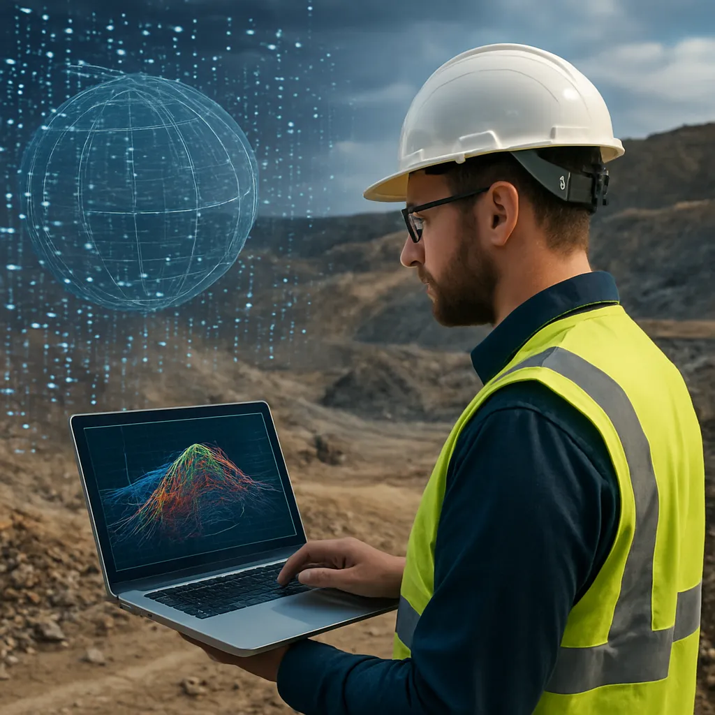
As industries accelerate their digital revolution and environmental mandates tighten, the integration of big data analytics in mineral exploration has become indispensable. The quest for rare metals such as lithium, cobalt, nickel, and scandium now relies on advanced computational frameworks that merge seismic volumes, satellite imagery, and geochemical assays. By harnessing unprecedented volumes of geological information, stakeholders can refine targeting methodologies, reduce discovery timelines, and allocate capital more efficiently.
Mapping Subsurface Structures with Big Data
Traditional exploration methods often require extensive fieldwork, drilling campaigns, and trial-and-error sampling. In contrast, modern workflows ingest vast arrays of heterogeneous data—ranging from geophysical surveys to hyperspectral satellite traces—into centralized platforms. Through high-performance computing clusters, exploration teams deploy machine learning algorithms to detect hidden patterns in rock properties and structural features.
- Integration of 3D seismic cubes with borehole logs to identify fault systems
- Application of geochemical profiling to delineate mineralization halos
- Utilization of satellite-derived thermal anomalies to locate hydrothermal vents
- Cross-referencing terrain models with historical drilling data for anomaly ranking
These processes leverage geospatial data correlation engines that compute spatial statistics at scale. By overlaying gravity, magnetic, and resistivity measurements, geoscientists can generate probabilistic maps that highlight zones with a high likelihood of hosting enriched mineral assemblages. This shift from deterministic to predictive analytics not only reduces operational risk but also optimizes the placement of core holes, lowering exploration costs by up to 30%.
Machine Learning Techniques in Mineral Exploration
Advancements in artificial intelligence have spawned a suite of sophisticated techniques tailored to resource discovery. Supervised learning models—such as random forests and support vector machines—classify geological units based on training data from known deposits. Deep learning frameworks, including convolutional neural networks (CNNs), process raw spectral imagery to detect lithological boundaries with sub-meter precision.
Data Preprocessing and Feature Selection
Raw exploration data often suffer from noise, missing values, and scale disparities. Implementing robust preprocessing pipelines is crucial:
- Normalization of multi-sensor readings to a common statistical distribution
- Outlier detection using clustering algorithms to flag anomalous samples
- Dimensionality reduction via principal component analysis (PCA) or t-SNE for feature compression
Once cleaned, features such as element concentrations, geomechanical properties, and topographic derivatives feed into ensemble models. Variable importance metrics then identify the most predictive parameters—guiding future data acquisition and refining exploration targets.
Unsupervised Learning for Geological Domain Discovery
Clustering algorithms like k-means and hierarchical agglomerative clustering partition survey regions into distinct geological domains. These domains often correspond to varying mineralization styles or alteration zones. Identifying clusters with high-grade signatures accelerates the prioritization process and unveils subtle deposit trends that manual interpretation might overlook.
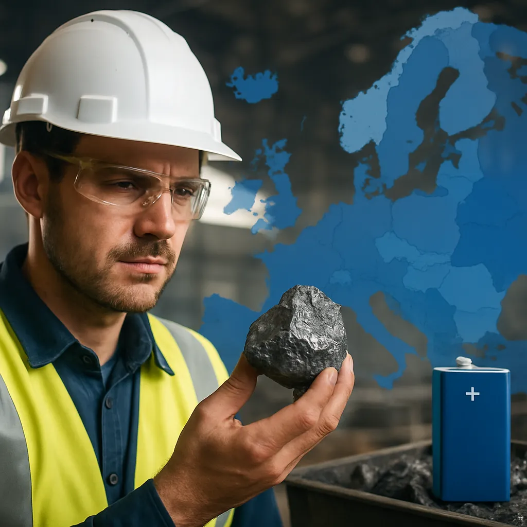
Global Rare Metals: Trends and Challenges
The geopolitical landscape of rare metals is undergoing rapid transformation. Emerging markets in Southeast Asia, Australia, and Africa are vying to stabilize supply chains, while established producers rethink export controls and domestic processing capacities. A reliance on a handful of nations for critical minerals exposes manufacturing sectors to price volatility and supply disruptions.
- China’s dominant position in processing and refining critical metals
- Trade tensions leading to strategic stockpiling by major industrial economies
- Environmental regulations mandating lower carbon footprints in mining operations
- Local community engagement demands for transparent benefit-sharing agreements
Such dynamics compel mining companies and governments to pursue diversified sourcing strategies. The adoption of data-driven exploration not only expedites new deposit discoveries but also fosters investments in underexplored regions, mitigating concentration risks and enhancing global supply chain resilience.
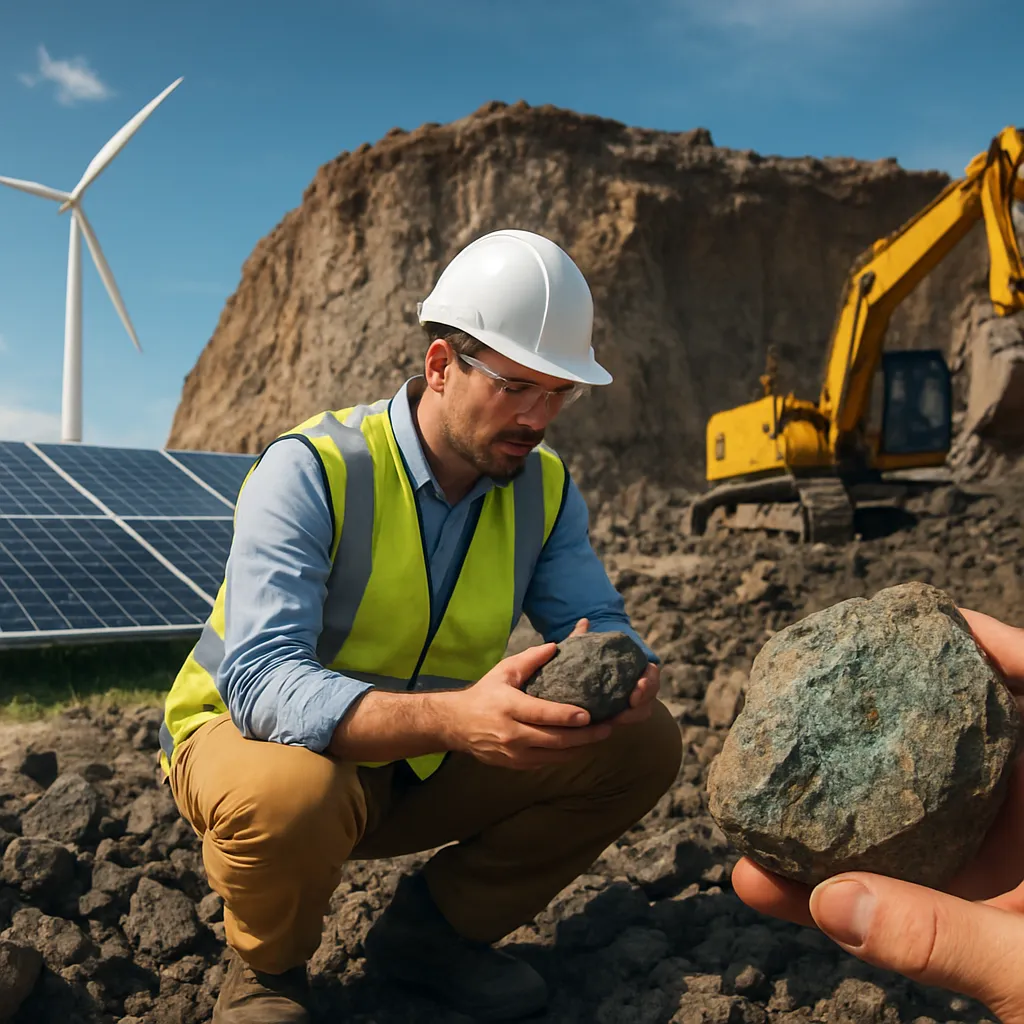
Environmental and Sustainability Considerations
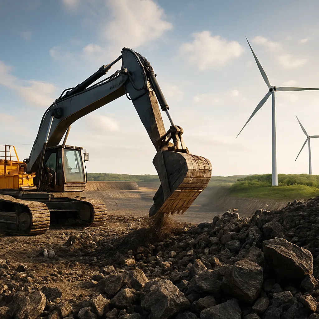
As extraction activities expand into remote and ecologically sensitive areas, sustainable practices have become a non-negotiable priority. High-resolution predictive models enable planners to:
- Minimize surface disturbance by optimizing drill site placement
- Forecast water usage and tailings volume with hydrological simulations
- Assess biodiversity impacts through integrated ecological datasets
- Monitor real-time emissions and energy consumption via IoT sensors
These measures ensure compliance with rigorous environmental standards and strengthen social license to operate. By embedding sustainability criteria into early-stage exploration, firms can demonstrate environmental stewardship and attract green financing from institutional investment partners.
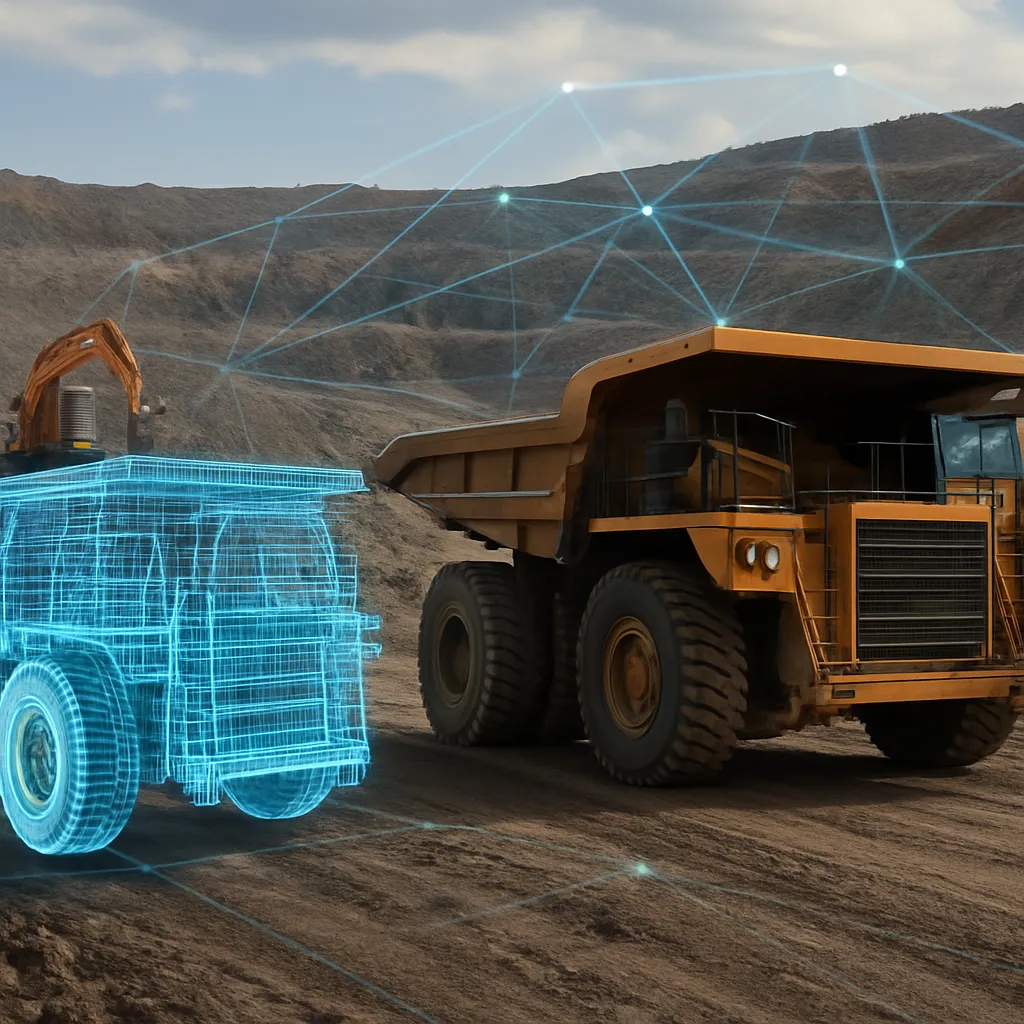
Integration of IoT and Remote Sensing in Field Operations
The proliferation of Internet of Things devices and high-resolution satellite constellations offers continuous monitoring of exploration footprints. Drones equipped with multispectral cameras survey vast terrains, feeding data streams into cloud-based analytics platforms. On the ground, autonomous rovers equipped with spectrometers perform real-time rock assays, reducing latency between sample collection and interpretation.
Real-Time Data Transmission
Low-bandwidth satellite uplinks and mesh network architectures facilitate uninterrupted connectivity in remote operations. Field data are transmitted to centralized dashboards, where data scientists apply resource management models to update prospect rankings dynamically. This agility enables rapid reallocation of drilling rigs to the most promising targets.
Edge Computing Applications
Deploying edge-computing nodes at drilling sites accelerates preliminary analytics. Machine learning models executed on-site can flag high-probability intersections within seconds, prompting on-the-fly adjustments to drilling trajectories. Such capabilities translate into significant time savings, especially in projects with limited seasonal access windows.
Economic Impacts and Future Opportunities
The infusion of predictive analytics into mineral exploration is reshaping capital allocation in mining portfolios. Companies demonstrating superior discovery rates command higher valuations, attracting growth-oriented investors. Meanwhile, governments leverage data-driven insights to identify strategic territories for licensing and infrastructure development.
- Public-private partnerships to share exploration risk and reward
- Incentive programs for junior explorers adopting cutting-edge technologies
- Open-access geoscience databases to democratize mineral prospectivity mapping
- Collaborative research initiatives bridging academia and industry
Looking ahead, the convergence of quantum computing, real-time data assimilation, and advanced mineral physics promises to further disrupt the exploration landscape. As digital twins of the Earth become more accurate, predicting the location and grade of hidden deposits will shift from art to science, spurring unprecedented discovery rates.