The relentless pursuit of untapped mineral reserves has propelled the mining industry into a new era of digital innovation. Startups at the intersection of geology and technology are harnessing AI to revolutionize how we discover and quantify rare metals essential for electric vehicles, renewable energy systems, and high-tech electronics. By integrating advanced machine learning models with vast geoscientific datasets, these young companies are driving unprecedented improvements in exploration accuracy, operational efficiency, and environmental sustainability.
Advancements in AI-driven Geological Data Analysis
Traditional exploration techniques rely heavily on core sampling, manual interpretation of geophysical surveys, and labor-intensive lab assays. Modern startups, however, are deploying AI-powered platforms to process and interpret complex datasets at scale. By ingesting seismic readings, drill-hole logs, and geochemical assays into predictive modeling engines, these platforms can rapidly identify geological trends that suggest concentrations of lithium, cobalt, nickel, and rare earth elements.
Data Integration and Feature Engineering
- Consolidating multi-source data: Integrating geospatial, geochemical, and geophysical inputs into a unified database
- Automated feature extraction: Using deep learning to derive key attributes—such as mineral hardness or grain size—from raw records
- Noise reduction: Applying advanced signal processing to filter out irrelevant fluctuations in survey data
Enhancing Prospectivity Mapping
AI algorithms classify geological terrains into zones of high and low prospectivity. By training on historical discoveries and known deposit locations, the models learn to recognize subtle spatial correlations. This empowers exploration teams to allocate resources more effectively, targeting drilling campaigns where the probability of encountering mineralization is highest.
Satellite Imagery and Remote Sensing Techniques
Satellite- and drone-based remote sensing provide high-resolution imagery that, when combined with AI, unlock new possibilities in terrain analysis. Startups are leveraging hyperspectral imaging and LiDAR scans to detect surface expressions of buried mineral deposits, mapping out anomalies that would be difficult to spot through ground-based surveys alone.
Hyperspectral Analysis
- Spectral fingerprinting: Identifying unique absorption bands associated with critical minerals
- Change detection: Monitoring time-series data to observe shifts in vegetation or soil composition that signal underlying deposits
- Cloud-based processing: Utilizing scalable computing to analyze vast swaths of satellite data in near real-time
LiDAR and Topographic Modeling
By mapping elevation changes with centimeter-level precision, LiDAR surveys reveal structural features such as faults and folds. When automation tools process these datasets, geologists can model subsurface geometries more accurately, guiding exploratory drilling to target zones of structural trapping where metals accumulate.
Predictive Modeling and Machine Learning Algorithms
At the core of many AI-driven exploration tools lies a suite of machine learning algorithms designed to predict mineral occurrences. Regression models, support vector machines, and, increasingly, neural networks are transforming raw geoscientific data into actionable insights that inform decision-making at every stage of the exploration cycle.
Supervised vs. Unsupervised Learning
- Supervised classification: Training on labeled instances of ore vs. barren rock to categorize new samples
- Unsupervised clustering: Grouping geochemical signatures to uncover hidden associations among elements
- Reinforcement learning: Optimizing drilling sequences by iteratively learning from each new data point
Deep Learning for Complex Patterns
Deep neural networks excel at recognizing non-linear relationships that human analysts might miss. For example, a convolutional neural network can scan 3D seismic volumes to detect subtle reflectivity anomalies indicative of hydrothermal alteration—a process that often concentrates critical metals like molybdenum and rare earth elements.
Case Studies of Startups Pioneering AI in Exploration
Several agile companies have emerged as leaders in applying AI to the search for global rare metals. Their innovative approaches highlight the transformative potential of advanced analytics in unlocking new mineral frontiers.
GeoSense Analytics
- Platform: Cloud-based integration of drill core imagery and geochemical assays
- Innovation: Custom computer vision models detect mineral grains in core photos with 95% accuracy
- Result: Reduced lab turnaround times by 40%, accelerating early-stage exploration
Prospex AI
- Platform: Predictive prospectivity maps combining airborne magnetics, radiometrics, and surface geochemistry
- Toolset: Uses ensemble learning to blend outputs from decision trees, gradient boosting, and neural nets
- Impact: Identified multiple virgin copper-nickel zones in underexplored terrains, leading to high-grade discoveries
DeepCore Solutions
- Platform: Autonomous drilling rigs guided by real-time AI analysis of cuttings and downhole sensors
- Advantage: In-drill adjustments reduce “dry holes” by 30% and optimize sampling intervals
- Focus: Targeting lithium brines in hard-to-access basins across South America and Africa
Challenges and Future Outlook
While the integration of AI into metal exploration offers immense promise, there remain hurdles to widespread adoption. Data quality and availability, interpretability of complex models, and regulatory considerations can impede progress. Moreover, balancing rapid innovation with ecological stewardship is critical in sensitive environments.
Data Governance and Standardization
Effective AI systems depend on consistent, high-fidelity datasets. Startups must navigate disparate data formats, varying measurement protocols, and incomplete archives. Industry-wide standards for data collection and sharing would streamline model development and validation.
Ethical and Environmental Considerations
- Minimizing footprint: Ensuring that AI-guided drilling follows best practices for land rehabilitation
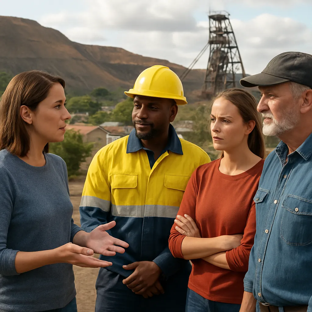
- Community engagement: Incorporating local knowledge and securing social licenses to operate
- Transparency: Developing explainable AI tools that stakeholders can trust
The Road Ahead
As computational power continues to grow and geochemistry databases expand, AI-driven exploration will become more precise, cost-effective, and sustainable. Collaborations between startups, established mining firms, and research institutions are poised to unlock new reserves of critical metals vital for the global energy transition. The convergence of automation, advanced sensing technologies, and deep learning heralds a new paradigm in which the deposits of tomorrow are discovered today.