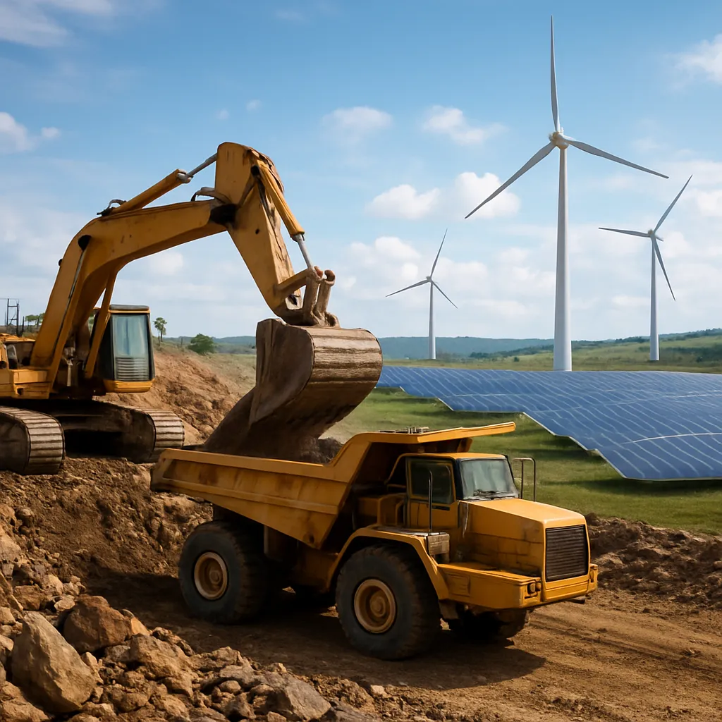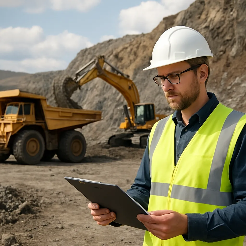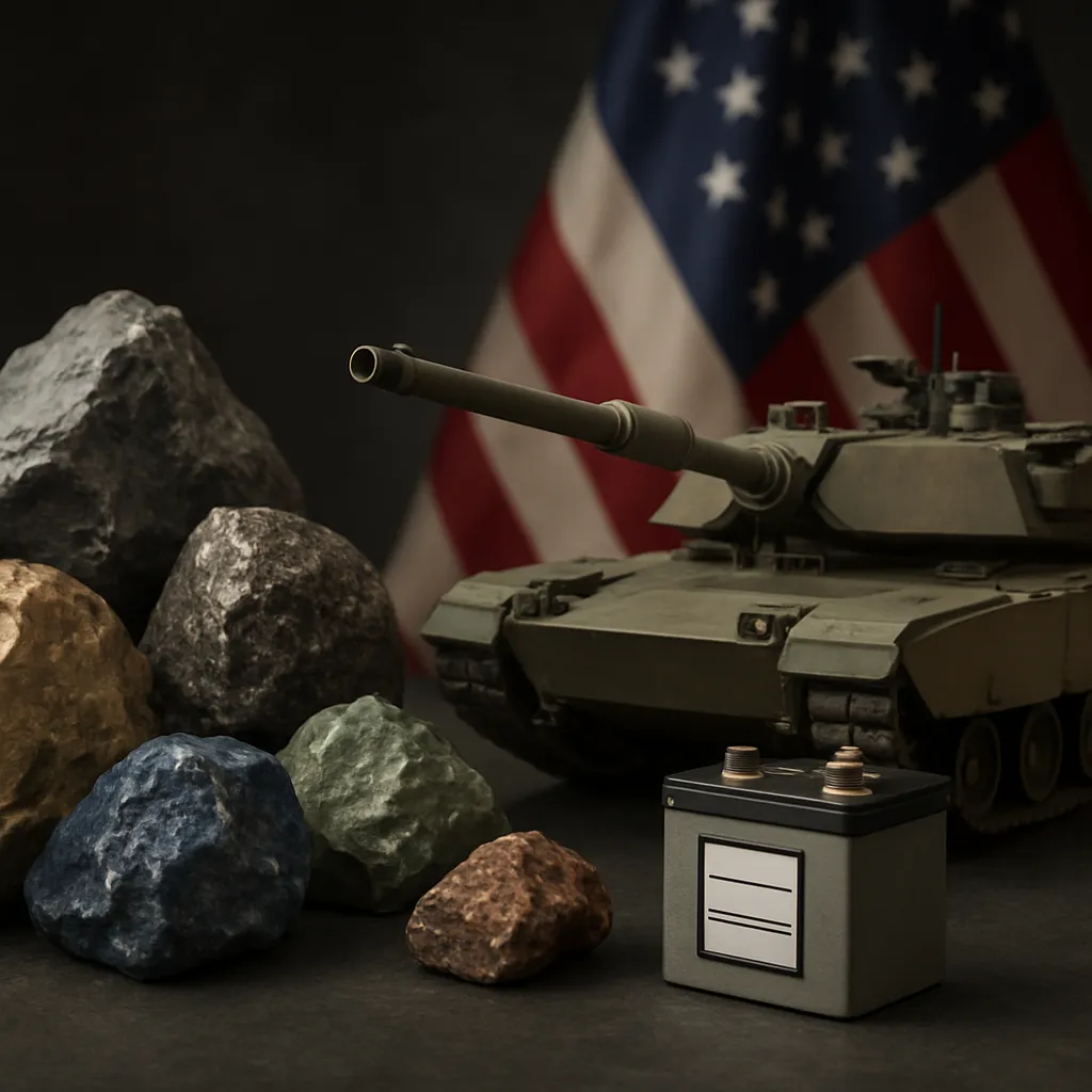
The next wave of rare metal exploration technologies is reshaping how companies and researchers locate and evaluate deposits of critical minerals. As demand for these resources surges, driven by the rise of electric vehicles, renewable energy systems, and advanced electronics, innovative methods are unlocking new prospects in remote regions and beneath the ocean floor. This article reviews cutting-edge techniques transforming the search for rare metals across the globe.
Emerging Geophysical Approaches
Traditional geophysical surveys relied heavily on seismic reflection and magnetic methods. Today, novel high-resolution techniques offer unprecedented insights into subsurface structures:
- Airborne multi-sensor surveys combining gravimetry, magnetics, and hyperspectral imaging to detect subtle anomalies linked to mineralization.
- Full-waveform electromagnetic (EM) systems that map conductivity variations at greater depths, revealing hidden veins of copper, nickel, and cobalt.
- Advanced magnetotelluric (MT) arrays delivering precise resistivity profiles, essential for distinguishing between barren rock and critical minerals deposits.
Enhanced Data Integration
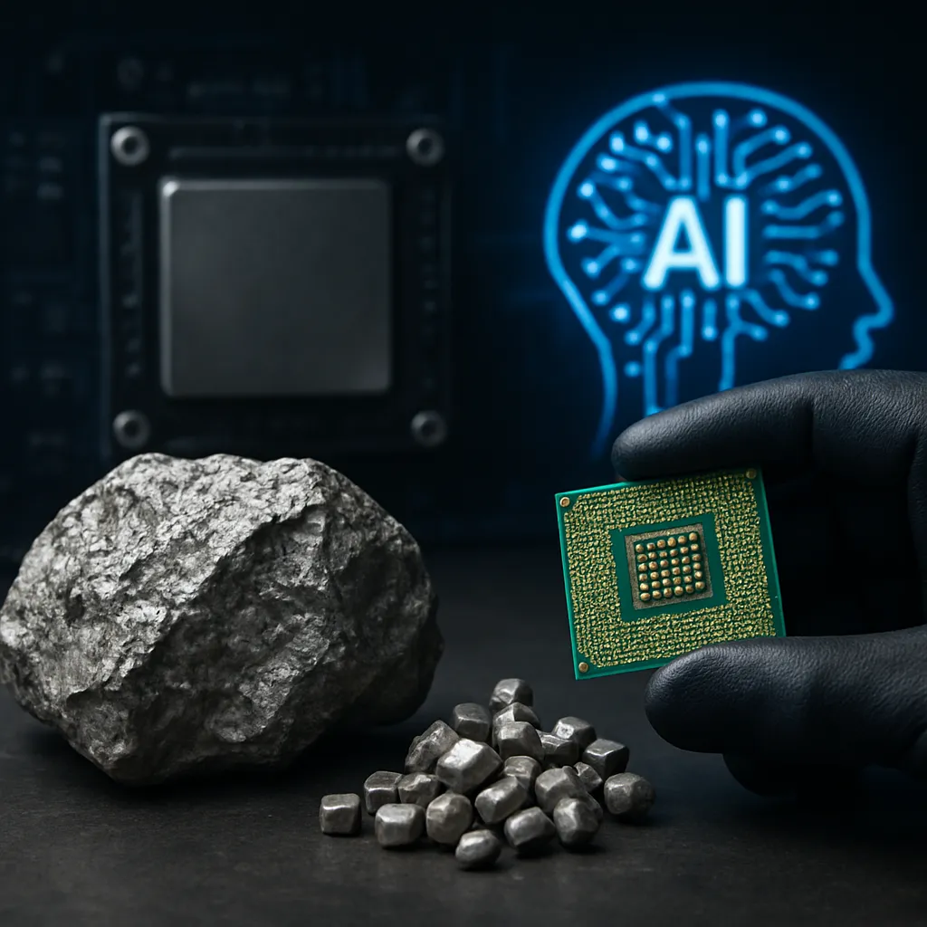
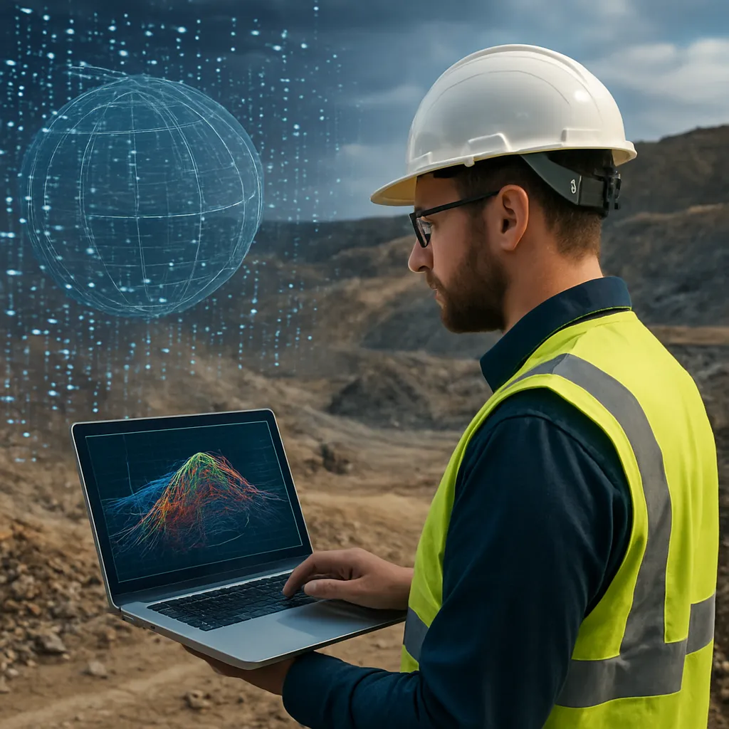
Data fusion platforms now integrate geophysical datasets with geological maps, drilling logs, and satellite observations. Machine learning algorithms identify patterns that might elude human interpretation, accelerating the delineation of prospective zones.
Innovations in Geochemical Sampling
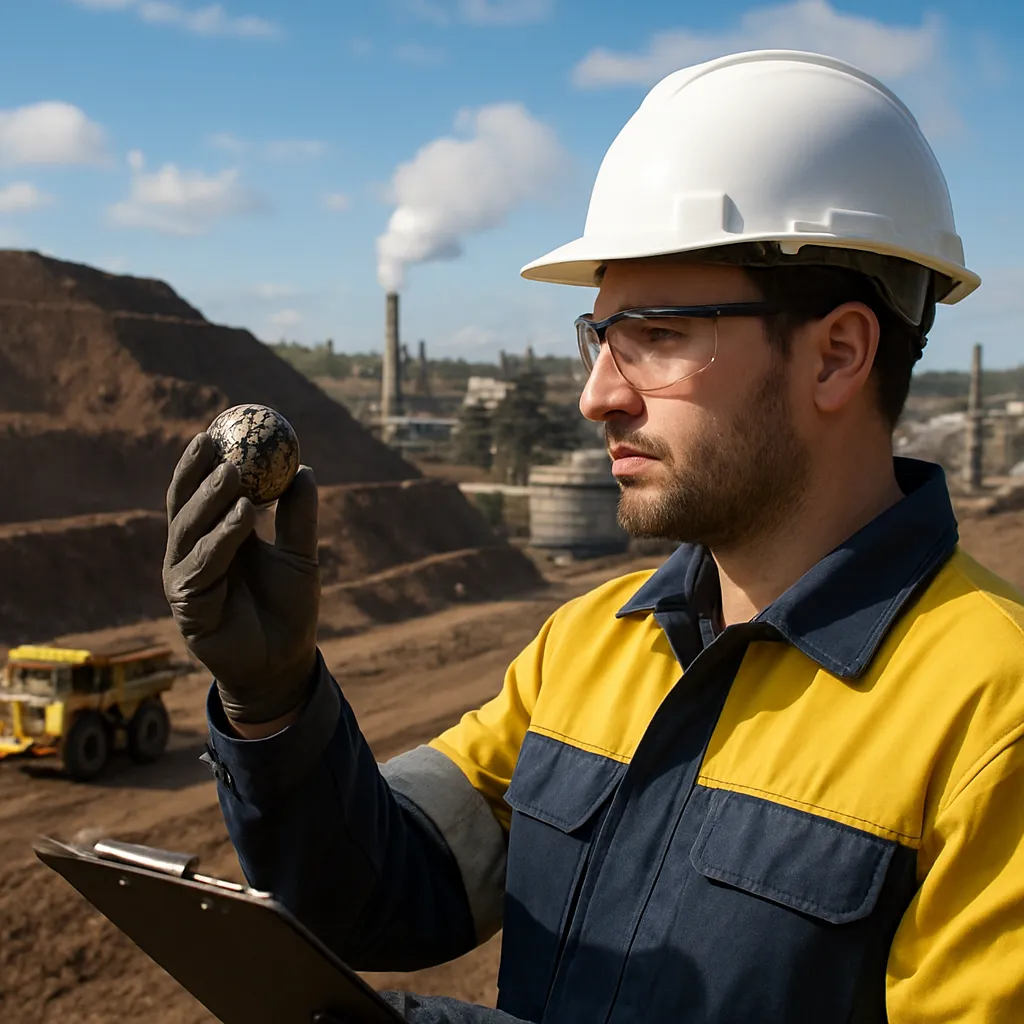
Geochemical methods remain central to exploration, yet recent advancements in sampling, analysis, and interpretation are revolutionizing detection thresholds.
- Mobile geochemical labs equipped with portable X-ray fluorescence (XRF) and inductively coupled plasma mass spectrometry (ICP-MS) instruments that deliver near–real-time results in the field.
- Isotope fingerprinting techniques that trace fluid pathways and weathering profiles, highlighting subtle enrichments of platinum-group elements and rare earths.
- Microbial prospecting, where specific bacteria accumulate rare metals at trace levels, providing biological indicators of underlying mineralization.
Nano-scale Analysis
In-lab advances in nanomaterial analysis allow for detection of mineral inclusions down to the submicron scale. Electron microprobe tomography and atom probe tomography chart the distribution of critical minerals within host matrices, refining target selection for drilling.
Remote Sensing Powered by AI
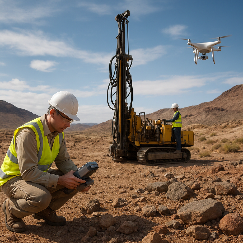
Remote sensing has matured beyond simple aerial photography. Cutting-edge satellite and drone platforms, coupled with artificial intelligence, are revolutionizing the reconnaissance phase.
- Hyperspectral imaging satellites capable of capturing over 200 spectral bands, detecting mineral signatures across vast terrains.
- Unmanned aerial vehicles (UAVs) fitted with LiDAR and thermal sensors, mapping topographical and temperature anomalies indicative of hydrothermal activity.
- Deep learning models that process large remote datasets, automatically classifying lithologies and alteration zones with greater accuracy than manual methods.
Real-time Monitoring
AI-driven platforms continuously ingest data streams from geophysical sensors, satellite feeds, and ground-based stations. Automated alerts signal new targets and anomalies, enabling rapid follow-up investigations.
Offshore and Deep-Sea Exploration
With terrestrial reserves under increasing pressure, the seabed represents a frontier for metal exploration. Recent technological strides have made undersea prospecting more feasible:
- Remotely operated vehicles (ROVs) and autonomous underwater vehicles (AUVs) equipped with high-definition sonar and spectrometers.
- Robotic drilling systems capable of coring the seafloor at depths over 6000 meters, returning samples of polymetallic nodules, crusts, and massive sulfides.
- In situ chemical sensors that analyze water and sediment composition, pinpointing zones enriched in manganese, nickel, copper, and cobalt.
Environmental Considerations
Balancing resource extraction with marine conservation demands novel approaches. Subsea operations now incorporate real-time ecological monitoring, using bioacoustic sensors and remotely sensed imagery to minimize environmental impact and adhere to strict sustainability standards.
Digital Twins and Virtual Modeling
The concept of a digital twin—an integrated digital replica of physical assets—is gaining traction in exploration workflows. By combining geological, geophysical, geochemical, and operational data, companies create dynamic 3D models that evolve as new information arrives.
- Interactive virtual environments where geologists simulate drilling scenarios, optimizing hole trajectories to intersect high-grade zones.
- Predictive software that forecasts orebody geometry and quality, reducing the number of exploratory drills required and lowering costs.
- Real-time collaboration tools enabling multidisciplinary teams across continents to review and validate data concurrently, enhancing decision-making speed and accuracy.
Future Outlook
As global competition for critical minerals intensifies, the integration of disruptive technologies will dictate exploration success. Synergistic use of advanced geophysics, precise geochemistry, AI-enhanced remote sensing, and subsea robotics offers an unprecedented toolkit. Companies that harness these innovations stand to unlock new reserves, ensuring supply chains for electric mobility, green energy, and high-tech industries remain robust.